Salt air, coffee in hand, and a coastal trail just minutes from your door. If that sounds like your kind of morning, Pacifica might be the right fit. You want a place where daily life can flow from beach walk to brunch to sunset views, with neighborhoods that feel close-knit and practical for real life. In this guide, you’ll get a clear picture of Pacifica’s everyday rhythm, from beaches and trails to cafes and neighborhood options, plus practical tips for parking, microclimates, commuting, and coastal planning. Let’s dive in.
Pacifica at a glance
Pacifica is a compact, beach-front city on the San Mateo Peninsula with an outdoor-forward lifestyle and quick access to San Francisco. It is a string of small beach neighborhoods, not a single downtown, which means daily life is neighborhood-driven. To get oriented, review the city’s short neighborhood guide that highlights areas like Sharp Park, Rockaway, Vallemar, Linda Mar, Pedro Point, and Park Pacifica in one place. You can scan those summaries on the city’s neighborhoods overview.
Beaches and waterfront
Pacifica’s three most-used beaches sit along one continuous crescent of coast:
- Pacifica State Beach, often called Linda Mar, is the large crescent beach and primary surf spot. It is a go-to for beginner surf lessons and casual beach walks. Local guidance notes rip currents in more exposed spots, so use caution and follow posted signs. You can find beach details and safety notes on the Pacifica State Beach page.
- Rockaway Beach is a small, scenic cove with nearby restaurants and hotels. It is a favorite for an easy dinner with a view after a sunset walk.
- Sharp Park Beach has a promenade and the Pacifica Pier nearby. The pier is a local landmark for fishing and strolling, with posted hours, rules, restrooms, and fish-cleaning stations. If you plan to spend time there, check the city’s Pacifica Pier information.
Practical tip: the City of Pacifica runs a paid parking program at Pacifica State Beach. If daily beach time is on your wish list, factor in parking-fee logistics. You can review current hours and fees on the city’s beach parking program page.
Trails and viewpoints
One of Pacifica’s best features is how easily you can link a quick hike to a warm drink afterward. A few favorite trailheads anchor this routine:
- Mori Point offers short-bluff hikes with panoramic ocean views and well-established trails. It is part of the Golden Gate National Recreation Area and is one of the most-accessed coastal headlands in town. See maps and visitor details on the Mori Point page from the National Park Service.
- The Coastal Trail network ties Sharp Park to Mori Point, then to Rockaway and Linda Mar, creating a continuous waterfront experience. This is the path many locals use for morning runs, stroller walks, and low-key bike rides. The city maintains updates on trails and walkways.
- The Devil’s Slide section of the California Coastal Trail, just south of town, is a high-profile stretch for walking and biking with dramatic cliffs and sweeping views. You can view the corridor on the Devil’s Slide Coast map.
Cafes, bakeries, and ocean-view dining
Pacifica’s food scene blends beach-casual and weekend-worthy dining with plenty of local institutions. Start your day with coffee from a neighborhood roaster, grab pastries from a longtime bakery, then plan a seaside dinner at Rockaway. Representative spots include Soul Grind Coffee Roasters, Mazzetti’s Bakery, Breakers for breakfast or brunch, and ocean-view dinners at Moonraker or Nick’s Rockaway. Rather than a single “best” place, you get choices that fit your mood, from quick surf-fuel to sit-down dining with a view.
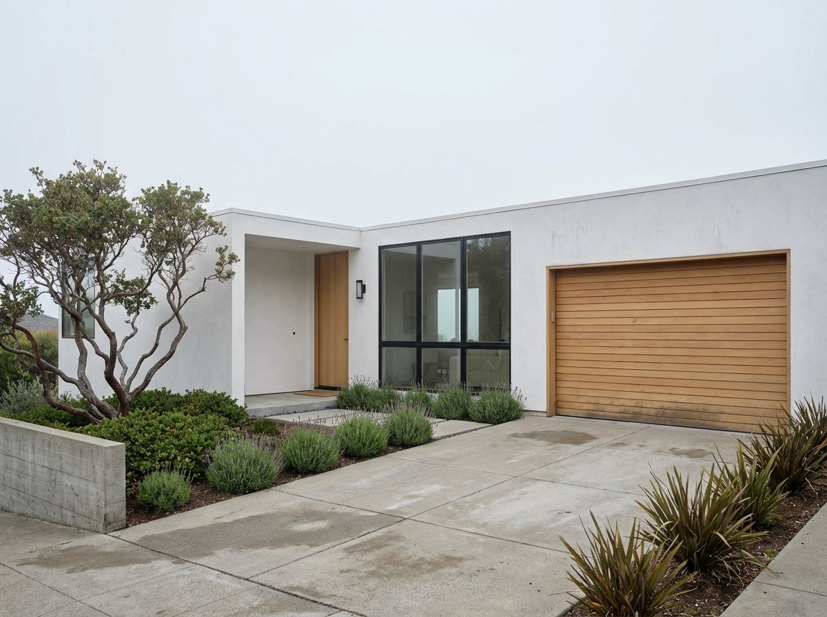
Neighborhoods and home styles
Because Pacifica is a collection of beach and valley pockets, it helps to map lifestyle to place. The city’s neighborhoods overview offers neutral descriptions. Here is a practical snapshot:
- Rockaway and Sharp Park: Immediate beach access, promenade and pier, and a modest tourist corridor. Homes range from older cottages to small contemporary builds and some cliffside customs. Appealing to buyers who want walkable waterfront and a lively, coastal feel.
- Vallemar, Fairmont, and Westview: Tree-lined pockets with older bungalows, mid-century homes, and some newer customs along creeks or hillsides. Good for buyers who prefer a quieter residential setting with easy nature access.
- Linda Mar, Park Pacifica, and Fairway Park: Larger tracts with community facilities like the Pacifica Community Center and skate park. Chosen by buyers who value neighborhood amenities and proximity to local schools and parks.
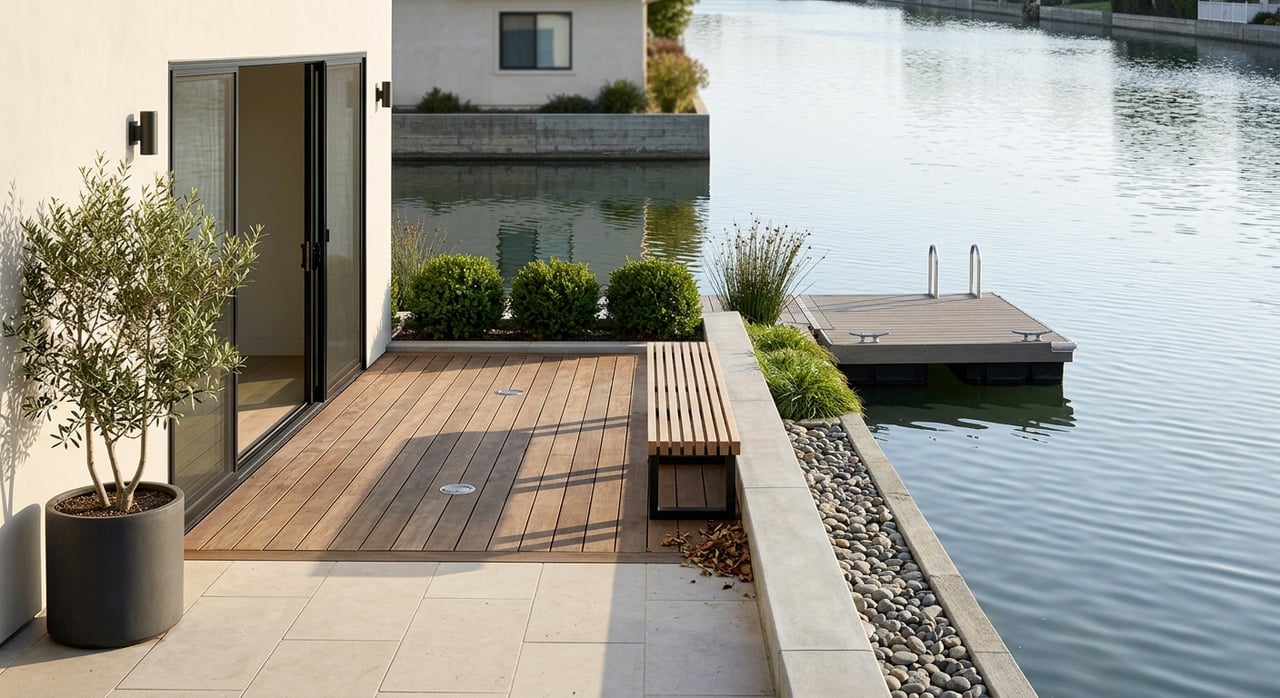
- Pedro Point and hillside enclaves: Single-of-a-kind, cliff-top homes with dramatic ocean views. These tend to be custom or highly remodeled properties for buyers who prioritize privacy and panorama.
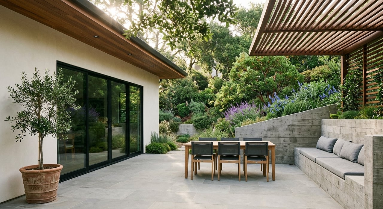
Expect a range of property types across town, from small beach cottages near shore to mid-century tract homes inland, plus multi-level hillside customs where stairs and narrow roads are part of daily life. You will also find select condo and townhome pockets, as well as a mobile-home community near Sharp Park.
Daily rhythm and microclimates
Pacifica’s microclimates shape daily life. Mornings on the coast can be foggy and cool, while back-valley areas like Park Pacifica often run sunnier and warmer by afternoon. If sunlight is a priority, time your visits at different hours to see how each neighborhood feels. That difference can be the deciding factor between an early beach walk in a fleece and a late-day backyard barbecue in a T-shirt.
Getting around and commute notes
Pacifica does not have Caltrain or BART within city limits. Many residents drive or use SamTrans routes to connect to Daly City and Colma BART stations for regional access. You can scan SamTrans route options and connectors via this route list reference. If you commute daily, test a few options at rush hour to confirm your timing. For weekend beach trips or farmer’s market mornings, aim to arrive earlier to simplify parking.
Coastal planning to know
Cliffside and oceanfront properties in San Mateo County come with unique long-term considerations. Coastal bluff erosion, storm surge, and sea-level rise are active planning topics monitored by local and regional agencies. OneShoreline, the county’s Flood and Sea Level Rise Resiliency District, coordinates planning and projects that inform adaptation and, in some cases, permitting constraints. If you are evaluating a view property near the edge, it is wise to understand setbacks, maintenance history, and future adaptation plans. You can learn more about regional efforts through OneShoreline’s updates.
A practical home search checklist
Use this quick checklist to focus your search and day-to-day fit:
- Proximity to your favorite beach or trailhead, by minutes on foot or a short drive
- Elevation, bluff setbacks, and permitting history for oceanfront or cliff-adjacent parcels
- Parking convenience, including garage size, driveway access, and street parking near popular beaches
- Number of stairs or hillside access for multi-level homes
- Microclimate preference, such as fog-coast mornings versus sunnier back-valley afternoons
- Walkability to a preferred cafe, bakery, or market routine
- Community connection points, like local markets or volunteer days, to meet neighbors
A sample “trail to cafe” day
Morning: Pick up a coffee and a pastry, then head to Mori Point for a 45-minute bluff loop with ocean views. Late morning: Work from home or run errands. Afternoon: Bike or walk a stretch of the Coastal Trail from Sharp Park toward Rockaway. Evening: Grab a table at a Rockaway restaurant to watch the sky change color over the water. This easy routine captures the town’s signature flow.
Community events and how to plug in
Pacifica’s calendar stays active with markets, stewardship days, and festivals. The late-September Fog Fest brings music, vendors, and a parade that draws visitors and neighbors together. For dates and details, check the Visit Pacifica events calendar. Year-round, you will find local volunteer cleanups and restoration days around Mori Point, Pedro Point, and San Pedro Creek. These events are a natural way to meet people and learn the area’s open spaces.
Ready to explore homes in Pacifica?
If Pacifica’s coast-to-cafe lifestyle feels like a match, you deserve local guidance that balances neighborhood nuance with white-glove service. The Gevertz Group is a boutique, family-run team with deep Peninsula roots, more than $350M in lifetime sales, and recognition among top small teams on the Peninsula. We pair hands-on attention with Coldwell Banker’s marketing reach to help you find the right home and navigate the details with confidence.
Request a Personalized Market Consultation with the Gevertz Group to start your Pacifica search.
FAQs
What is day-to-day life like in Pacifica for new residents?
- Expect an outdoor-forward routine that often moves from coastal trails to neighborhood cafes, plus easy beach access and a community calendar anchored by events like Fog Fest.
Which Pacifica beach is better for beginners and casual visits?
- Pacifica State Beach, also known as Linda Mar, is the primary surf spot and a common place for beginner lessons, with city-posted safety guidance and paid parking options.
How do Pacifica’s microclimates affect neighborhood choice?
- Coastal areas can be cooler and foggy in the morning, while back-valley neighborhoods like Park Pacifica are often sunnier by afternoon, so visit at different times to compare.
What should I know about commuting from Pacifica?
- The city has no in-town BART or Caltrain; many residents use SamTrans to connect to Daly City or Colma BART or choose to drive, depending on schedule and destination.
What coastal planning issues should buyers understand in Pacifica?
- Coastal bluff erosion, storm surge, and sea-level rise are active topics; agencies like OneShoreline coordinate planning that can influence setbacks, maintenance, and permitting.