What if choosing your Menlo Park neighborhood was as simple as matching it to your daily routine? Maybe you want to stroll to coffee and the train, or you crave a larger yard and easy access to Sand Hill Road. This guide breaks down Menlo Park pockets by lifestyle fit, commute patterns, walkability, housing style, and what to watch in local planning. By the end, you’ll have a clear short list that aligns with how you actually live. Let’s dive in.
Downtown Menlo Park: Walk-to-everything living
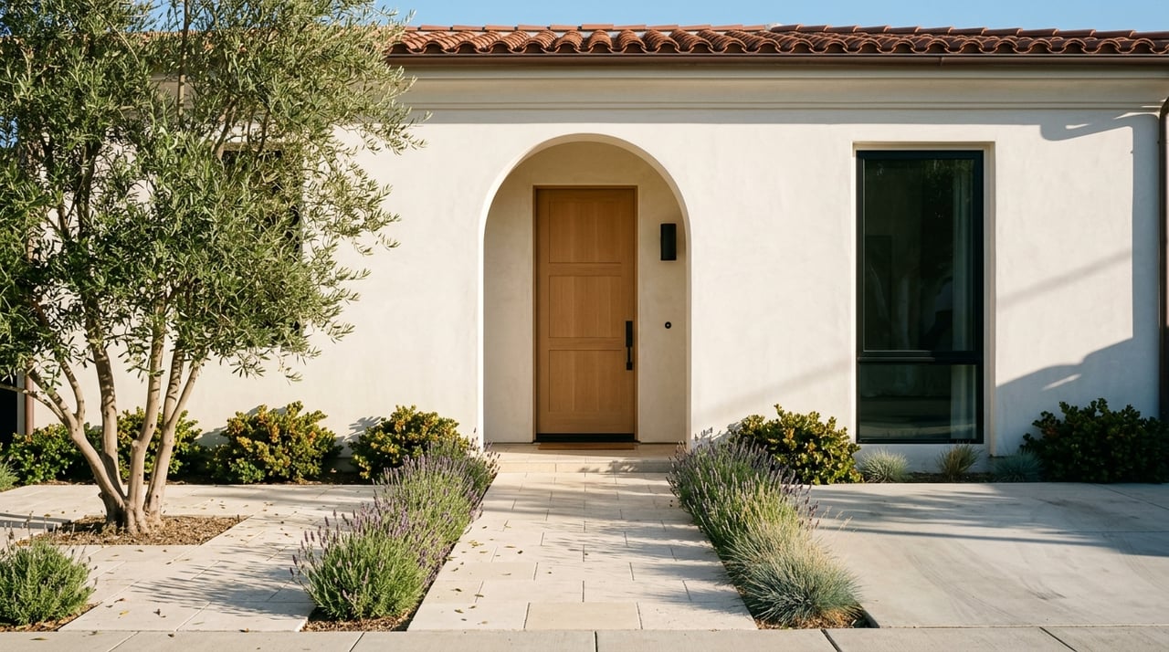
If you picture a daily latte, errands on foot, and quick Caltrain access, start here. Downtown’s Santa Cruz Avenue is the city’s compact main street, with cafés, small shops, and Fremont Park as a central green. The city highlights downtown’s role as Menlo Park’s pedestrian core, and the area’s Walk Score confirms very high walkability near Santa Cruz Avenue.
- Best for: Car-light living, daily errands on foot, and quick train access.
- Housing & lots: A blend of apartments and condos over retail, townhomes, and small-lot single-family homes on adjacent blocks.
- Commute: The Menlo Park Caltrain station sits at the edge of downtown. Check current timetables on Caltrain and the station page for service details. City shuttles link the station with nearby business parks.
- Walkability & errands: Strong. Expect easy walks to restaurants, services, and Fremont Park. See the downtown overview on the City’s economic development page and a representative Walk Score example near Santa Cruz Avenue.
- Planning watch: The City is evaluating redevelopment of several downtown parking plazas as part of its Housing Element follow-up. Track milestones on the Downtown parking lots process page.
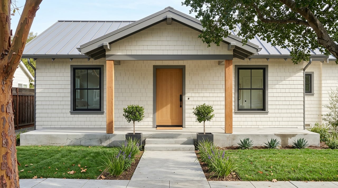
Allied Arts & Stanford Park: Single-family plus café culture
This west-of–El Camino pocket combines quiet residential blocks with a short stroll to Santa Cruz Avenue and boutique spots around the Allied Arts Guild. It is one of Menlo Park’s most walkable single-family areas with early 20th-century charm.
- Best for: Walk-to-dinner convenience without giving up a house.
- Housing & lots: Early bungalows, Craftsman and Spanish-Revival homes, with some duplexes and tasteful infill near commercial edges.
- Commute: Quick access to Menlo Park or Palo Alto Caltrain by foot or bike, plus straightforward driving to El Camino and 101.
- Walkability & errands: Strong. Many streets are a short walk to Santa Cruz Avenue and nearby cafés. See neighborhood context from Palo Alto Online’s profile.
- Planning watch: Monitor downtown’s parking-plaza redevelopment since it could influence nearby street activity and housing availability.
Sharon Heights & Stanford Hills: Hillside privacy and I-280 access
Set along Menlo Park’s southern and hillside edges, these pockets trade downtown footsteps for calm streets, larger lots, and quick connections to Sand Hill Road and I-280. If your daily routine runs through Stanford or venture corridors, this area often makes the shortlist.
- Best for: Privacy and a quick Sand Hill or I-280 drive.
- Housing & lots: Mid-century ranches alongside substantial single-family homes, with a mix of original properties and modern rebuilds. Some condo and townhouse communities appear in select spots.
- Commute: Driving-first. Expect short drives to Sand Hill Road, I-280, and Stanford corridors. Transit options are more limited than downtown.
- Walkability & errands: Moderate. You will likely drive for groceries and dining.
- Planning watch: None specific flagged, but always verify block-level development or HOA rules before you buy.
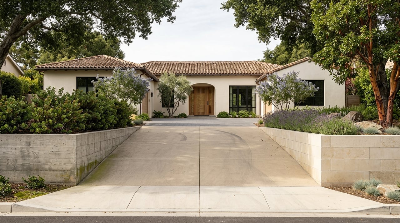
Central Menlo & Menlo Oaks: Estate-scale lots and tree-lined calm
These classic pockets feel quietly suburban within city limits. Larger lots, mature trees, and setbacks create a relaxed, estate-like atmosphere that appeals to buyers who prioritize outdoor space and privacy over daily walkability.
- Best for: Bigger lots and indoor-outdoor living.
- Housing & lots: Larger single-family homes on generous parcels, with a mix of historic residences and high-end rebuilds.
- Commute: Good driving access to Sand Hill Road, I-280, and 101 depending on the block. Caltrain is a short drive or bike ride.
- Walkability & errands: Light to moderate. Interior blocks are not typically walkable to Santa Cruz Avenue.
- Planning watch: None specific citywide, but renovation and expansion potential varies by parcel. Confirm setbacks and allowable improvements with the City before planning a project.
The Willows (Stanford Gardens): Mid-century character and neighborly streets
The Willows offers a distinct architectural identity with early Eichler mid-century homes, winding streets, and a close-knit vibe. It sits near the Palo Alto border, offering short hops toward University Avenue and downtown Menlo Park.
- Best for: Architectural character and indoor-outdoor living.
- Housing & lots: Original Eichler homes in the Stanford Gardens tract alongside bungalows and later infill. Many have been remodeled while retaining mid-century features.
- Commute: Direct driving to 101 and surface streets toward Stanford and Menlo Park job centers. Caltrain is a bike or short drive away, depending on the block.
- Walkability & errands: Moderate. You may bike or drive for most errands, with proximity to both Menlo Park and Palo Alto options.
- Planning watch: None specific citywide. If mid-century authenticity matters, verify design guidelines or neighborhood expectations on exterior changes before remodeling.
Linfield Oaks & Felton Gables: Near the Caltrain corridor
Just west of the rail line, these pockets blend tree-lined streets with a practical mix of single-family homes, townhomes, and low-rise apartments. Many blocks are a quick bike ride to Santa Cruz Avenue and the Caltrain station.
- Best for: Short station access plus a residential feel.
- Housing & lots: Mid-century single-family homes on modest lots, with townhouse and apartment options and ongoing infill.
- Commute: Strong Caltrain access for north–south commuting. Confirm service levels on Caltrain.
- Walkability & errands: Moderate to strong. Biking or quick drives make downtown access easy.
- Planning watch: Follow Caltrain schedule updates and any station-area changes that could improve connectivity or parking.
Suburban Park, Lorelei Manor & Flood Park Triangle: Northeast convenience near 101
These northeast pockets offer immediate access to Highway 101, the Marsh and Willow corridors, and Flood Park. They are practical for buyers who trade longer walks for simplified drive times.
- Best for: Commuters who prioritize 101 access and nearby recreation.
- Housing & lots: Postwar tract homes, some with Eichler-influenced design, many already remodeled. Lots tend to be tighter than estate neighborhoods.
- Commute: Among the quickest to reach 101 and nearby business corridors.
- Walkability & errands: Moderate. Flood Park is a major amenity; most errands are a short drive.
- Planning watch: Check any Flood Park updates and nearby corridor improvements that could affect local traffic patterns.
Belle Haven & Bayfront: East-of-101 access and an evolving corridor
Menlo Park’s bayfront area has a different urban profile and sits close to major employment campuses. It has seen active planning and redevelopment interest, with a range of housing types and ongoing transportation services.
- Best for: Direct east-side job access and bayfront recreation.
- Housing & lots: A mix of smaller single-family homes, multi-family buildings, new infill, and ADUs. Conditions vary block by block.
- Commute: Very direct to Willow and Marsh corridors, Bayfront employers, and Dumbarton Bridge. Regional services operate in the corridor; see SamTrans and the City’s shuttle services for local connections.
- Walkability & errands: Variable by block, with retail nodes and recreation along the bayfront network.
- Planning watch: Expect continued interest in bayfront parcels. Verify current plans and timelines before making assumptions about future streetscape or housing shifts.
Commute and transit essentials
Caltrain is Menlo Park’s north–south transit backbone. Proximity to the station is a decisive lifestyle factor if you commute to San Francisco or other Peninsula hubs. Always confirm current timetables on Caltrain before you rely on specific service patterns.
Menlo Park also operates free shuttles that connect the station and key business areas. The City recently updated shuttle schedules to align with Caltrain changes, so check the City Shuttle services and the latest schedule update notice for current routes and times.
How to shortlist your neighborhood
Use this quick process to match a pocket to your day-to-day:
- Run a real AM and PM drive test to your top commute destination on the same weekdays you would travel.
- Do a door-to-door Caltrain test: walk or bike time to the station, wait time, train travel, and final-mile transfer. Plan it with Caltrain schedules.
- Check local shuttle connections between your target pocket and the station using the City Shuttle services.
- Decide your priority tradeoff: yard size and privacy vs. daily walkability and train convenience.
- Keep an eye on active planning, especially the downtown parking-lot redevelopment process, since it could shape future housing and street activity.
- Remember that neighborhood names and boundaries are informal. When you get block-specific, cross-check with a City or parcel map. The City’s economic development pages are a good starting point.
Work with a local specialist
Choosing the right Menlo Park pocket is about more than a pin on a map. You want clear guidance on block-level commute mapping, door-to-door transit timing, and lot or renovation potential if you prefer to update a home. That is where a hands-on, Peninsula-focused team can save you time and improve your outcome.
If you are weighing tradeoffs like walkability versus yard size or Caltrain proximity versus I-280 access, let us help you compare options with real data and on-the-ground insight. Reach out to the Gevertz Group for a personalized neighborhood shortlist and next steps that fit your goals.
FAQs
What is the most walkable area in Menlo Park?
- Downtown near Santa Cruz Avenue is the city’s pedestrian core, with very high walkability and immediate access to the Menlo Park Caltrain station; see the City’s downtown overview and a representative Walk Score example.
How does Caltrain access vary by Menlo Park neighborhood?
- Downtown and nearby pockets like Allied Arts, Linfield Oaks, and Felton Gables have the shortest station access; Sharon Heights, Central Menlo, and northeast pockets are a bike or drive away; always verify current schedules on Caltrain.
Which Menlo Park neighborhoods tend to have larger lots?
- Central Menlo, Menlo Oaks, and many Sharon Heights or Stanford Hills parcels offer larger lots and a quieter, estate-scale feel compared with downtown-adjacent blocks.
What planning changes could affect downtown Menlo Park soon?
- The City is actively evaluating redevelopment of certain downtown parking plazas as part of its Housing Element work; track updates on the Downtown parking lots process page.
How can I compare commute times before buying in Menlo Park?
- Do two tests: a weekday AM/PM drive to your workplace and a full door-to-door Caltrain trip including walk or bike, wait, train, and transfer; plan with Caltrain schedules and check the City’s shuttle services for last-mile options.